Sicily Parks Cycle Route by MTB: Villages and Nature
Sicily Parks Cycle Route by MTB: Villages and Nature
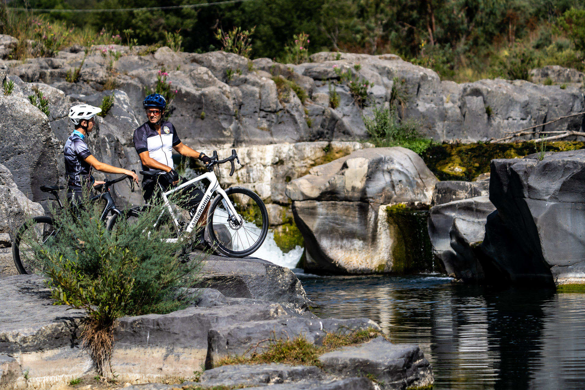
Sicily Parks Cycle Route by MTB: Villages and Nature: itinerary, stages and GPX tracks
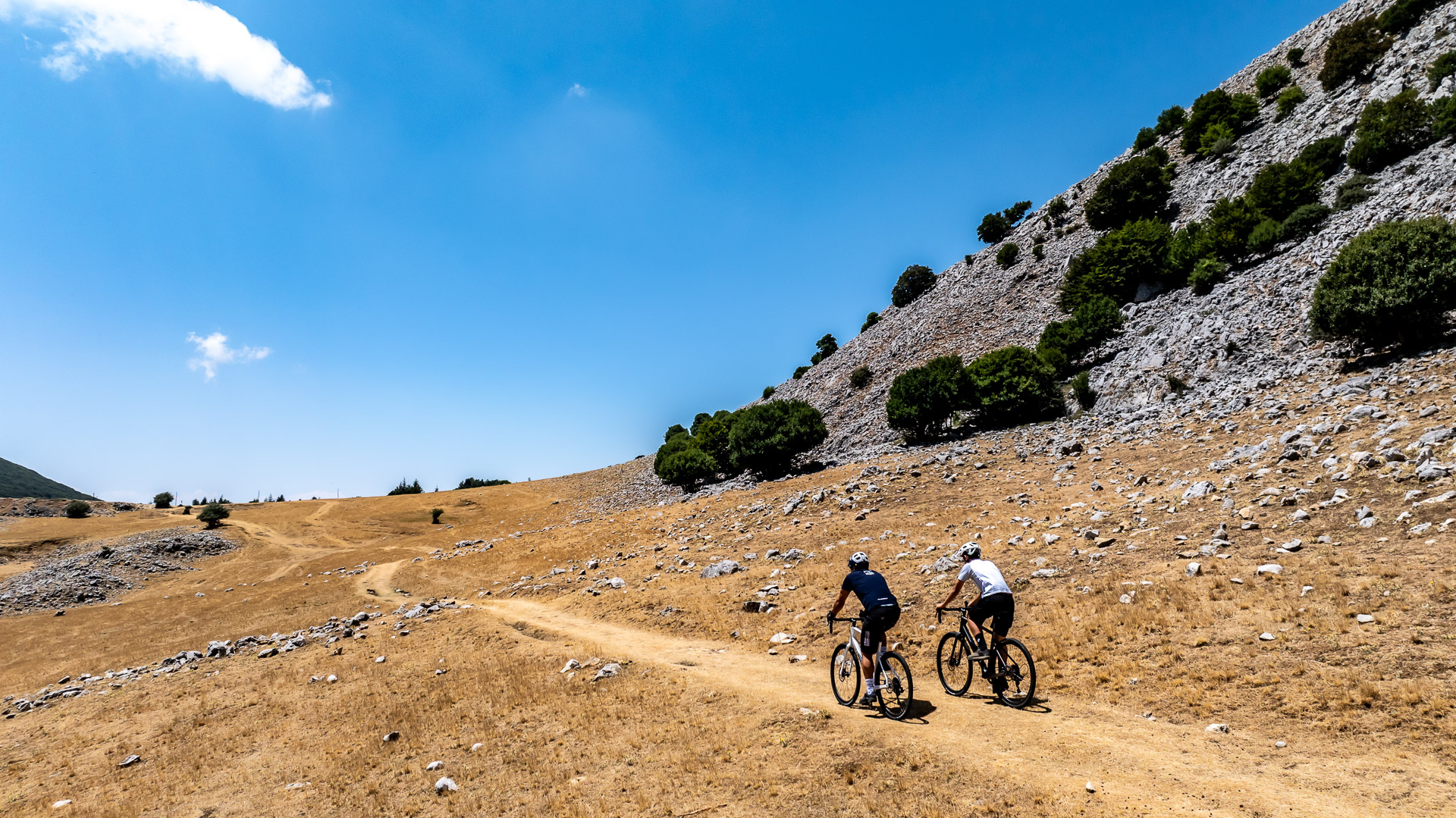
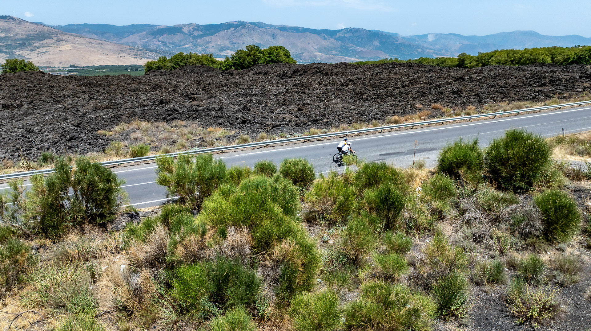
Lava beneath your wheels, woodland trails and the sea reappearing on the horizon: the Sicily Parks Cycle Route by mountain bike is an approximately 298 km crossing in six days, from Rifugio Sapienza to Cefalù. It connects the landscapes of Etna Park, Alcantara River Park, Nebrodi Park and Madonie Park, alternating natural routes, villages and connecting roads.
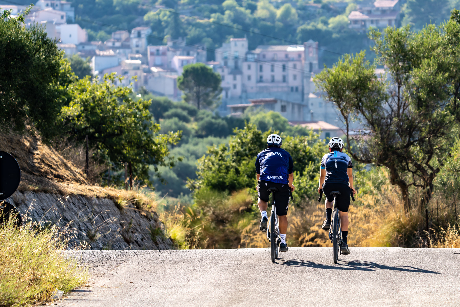
From Etna’s Altomontana trail, descend towards Linguaglossa, Castiglione and Francavilla di Sicilia. The climb into Bosco di Malabotta leads towards Floresta, followed by Nebrodi trails to Capizzi. The connection to Gangi opens the Madonie part of the journey: the Petralie, hills around Madonna dell’Alto and Piano Battaglia precede the descent towards Gratteri and Cefalù. Four regional parks form the thread of the journey; village stops offer local flavours, architecture and an insight into mountain life.
Designed for riders with good fitness and mountain-bike experience, the route includes natural surfaces, dirt tracks, long climbs and descents that require attention even on shorter stages. Some technical passages may require dismounting and pushing the bike. An e-MTB can help with the effort on climbs, leaving more energy to enjoy the landscapes and discoveries along the way.
Why choose this route?
- Etna Park by MTB: start at Rifugio Sapienza and ride sections of the Altomontana through volcanic landscapes and woodland.
- Alcantara River Park: Castiglione and Francavilla mark the passage from volcano to valley before the climb towards Malabotta.
- Nebrodi Park by MTB: trails, woods and mountain scenery between Floresta and Capizzi bring out the off-road character of the journey.
- Madonie Park by MTB: Gangi, the Petralie and Piano Battaglia accompany the climbs before the return towards the Tyrrhenian Sea.
- Villages and nature in six days: approximately 298 km combining discovery and riding on varied surfaces, finishing in Cefalù.
Perfect for anyone looking for an authentic outdoor adventure built on nature, cycling and local discovery.
Detailed Itinerary
Plan your adventure day by day with clear information on what to expect — distance, terrain and highlights for every stage.
1
Stage 1
Day 1 | Rifugio Sapienza → Francavilla di Sicilia
58.1 km
Day 1 | Rifugio Sapienza → Francavilla di Sicilia
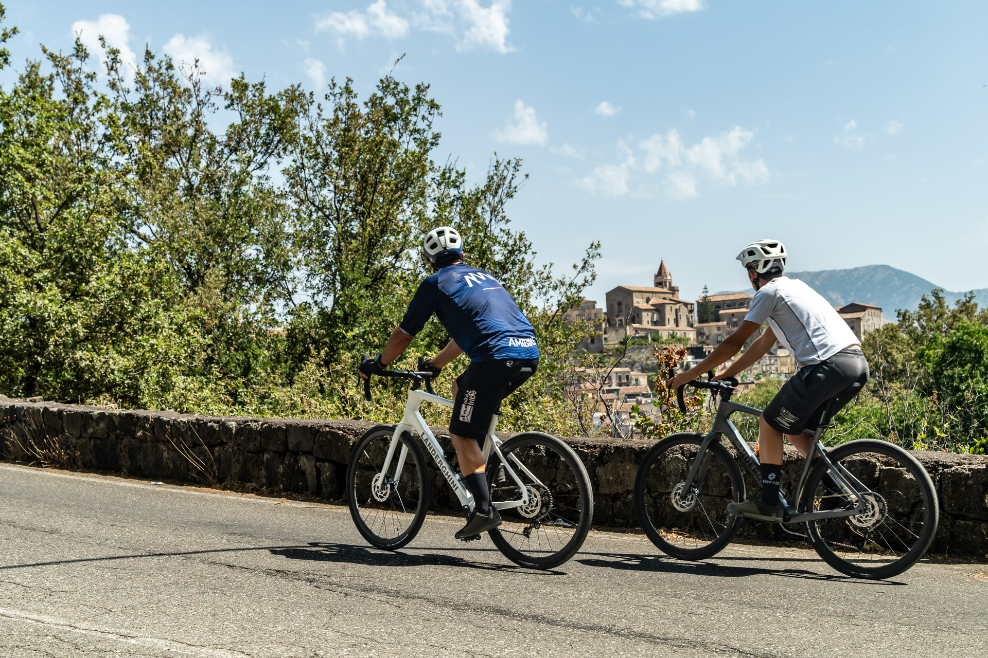
Etna Park; Rifugio Sapienza; Altomontana trail; northern woodlands; Linguaglossa; Castiglione di Sicilia; Francavilla and Alcantara River Park area.
The journey starts at elevation at Rifugio Sapienza, where lava meets the first wooded areas. Follow sections of Etna’s Altomontana towards the volcano’s northern side, alternating natural surfaces, dirt and paved connections. The descent leads to Linguaglossa, then Castiglione and Francavilla di Sicilia, where the landscape changes as the route enters the Alcantara area.
2
Stage 2
Day 2 | Francavilla di Sicilia → Bosco di Malabotta → Floresta
34.2 km
Day 2 | Francavilla di Sicilia → Bosco di Malabotta → Floresta
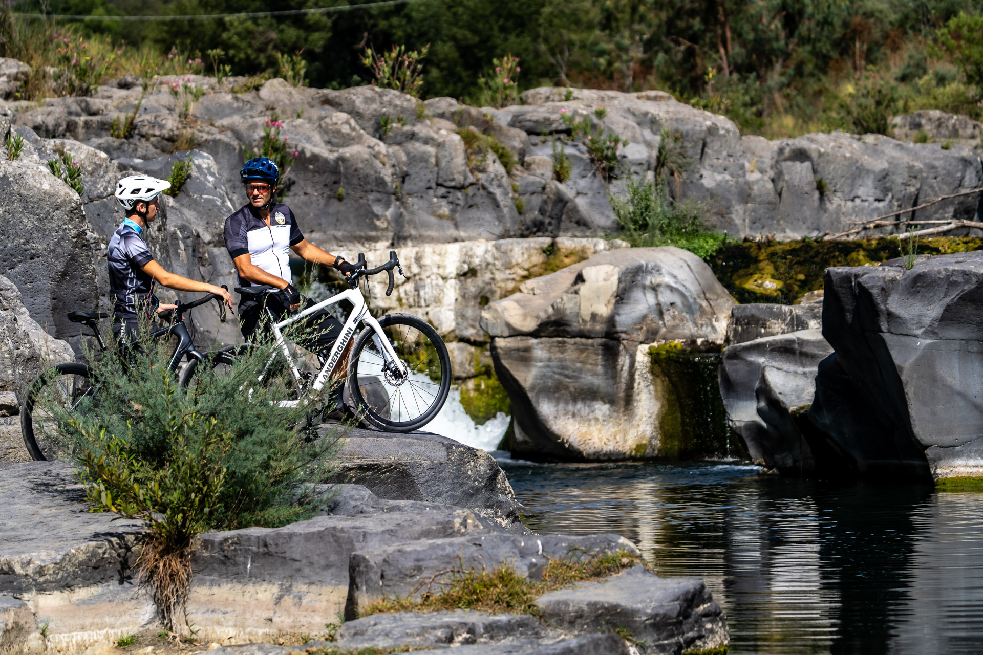
Francavilla di Sicilia and Alcantara Valley; Bosco di Malabotta Nature Reserve; Argimusco area; Floresta area.
Leave the Alcantara River Park area and climb towards Bosco di Malabotta Nature Reserve. Mature trees, trails and views of the hills set a different pace from the descent off Etna. The track passes through the Argimusco area, where any visit requires checking the connection and access, before reaching the Floresta area. Approximately 34.2 km include almost 1,360 m of indicative ascent.
3
Stage 3
Day 3 | Floresta → Capizzi
64.2 km
Day 3 | Floresta → Capizzi
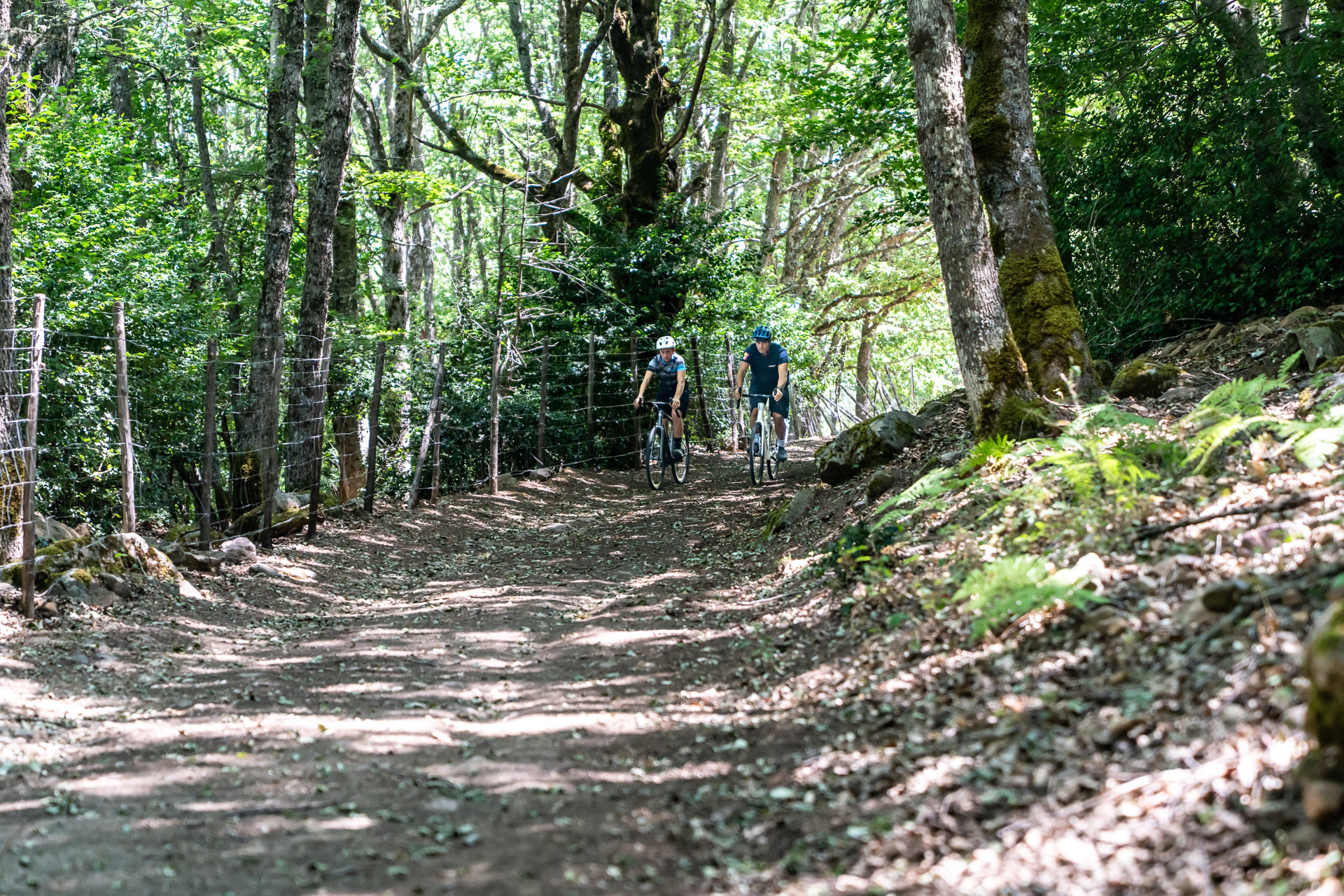
Floresta; Nebrodi Park; ridge sections; Biviere di Cesarò and Lake Maulazzo area; mountain woods; Capizzi.
The third day enters the woodiest part of the crossing. From Floresta, follow trails and connections along the Nebrodi ridge, through mountain vegetation and open spaces that invite a pause. The track passes through the Biviere di Cesarò and Lake Maulazzo areas, then continues towards Capizzi. Repeated climbs and descents maintain the challenge over approximately 64.2 km and almost 1,400 m of indicative ascent.
4
Stage 4
Day 4 | Capizzi → Gangi | From Nebrodi to the Madonie area
62.5 km
Day 4 | Capizzi → Gangi | From Nebrodi to the Madonie area
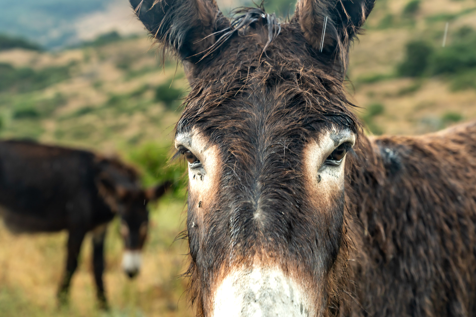
Capizzi; western Nebrodi area; inland mountain and rural landscapes; Gangi.
Leave Capizzi among hills and inland roads, alternating natural and unpaved sections with road connections. This transitional day sees woodland gradually give way to farmland and more open views towards the Madonie. Arrival in Gangi introduces another side of the journey: houses on the hill, narrow streets and viewpoints invite a walk after parking the bike.
5
Stage 5
Day 5 | Gangi → Rifugio Marini
39.9 km
Day 5 | Gangi → Rifugio Marini
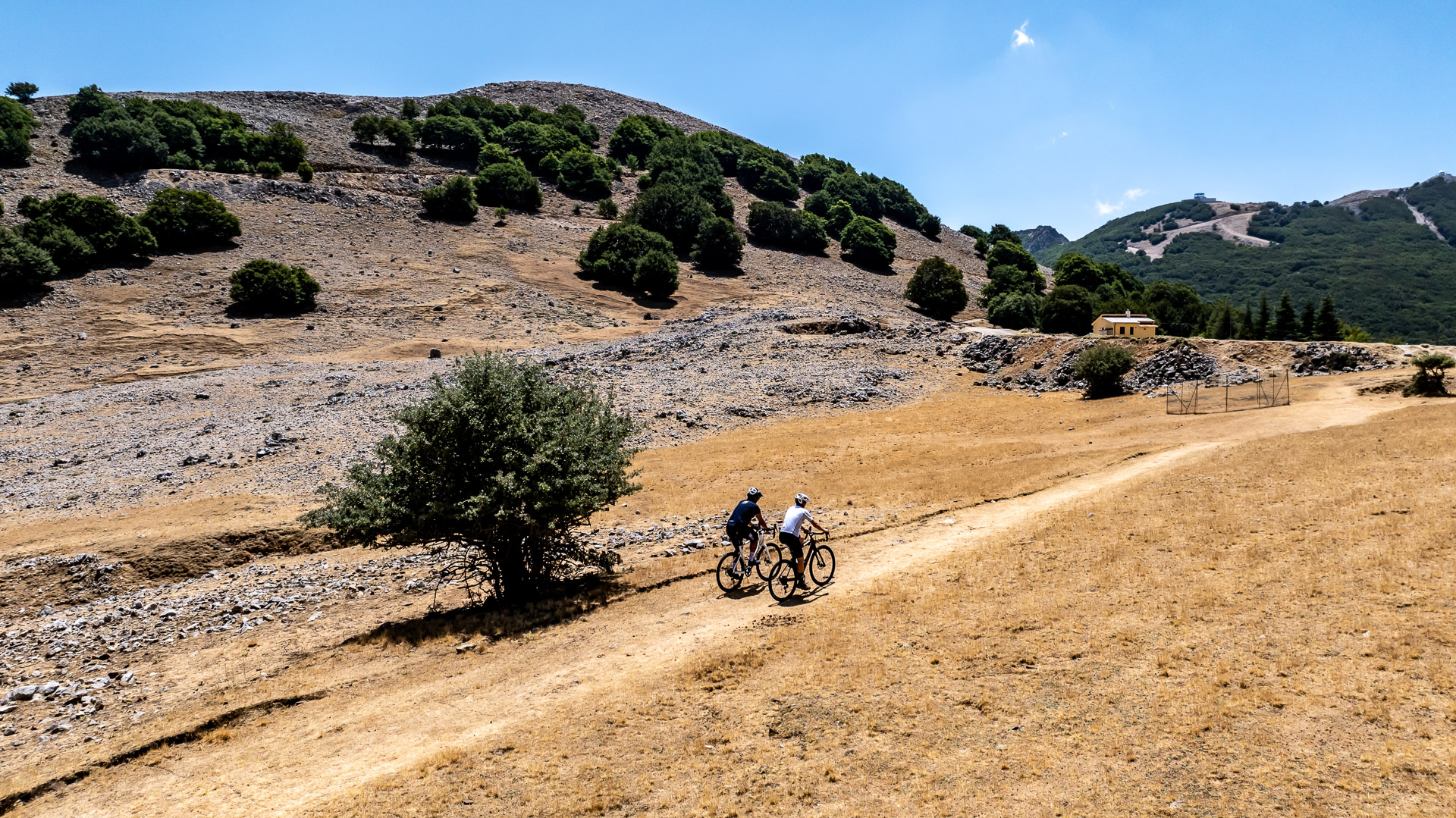
Gangi; Petralia Soprana; Petralia Sottana; hills around Madonna dell’Alto sanctuary; Portella Colla; Piano Battaglia and Rifugio Marini.
Beyond Gangi, reach the Petralie area: the two separate towns offer places to stop before the more demanding section. Climb towards the hills around Madonna dell’Alto, then continue via Portella Colla to Piano Battaglia and Rifugio Marini. Madonie Park scenery accompanies a day of approximately 39.9 km with over 1,700 m of indicative ascent.
6
Stage 6
Day 6 | Rifugio Marini → Gratteri → Cefalù
38.6 km
Day 6 | Rifugio Marini → Gratteri → Cefalù
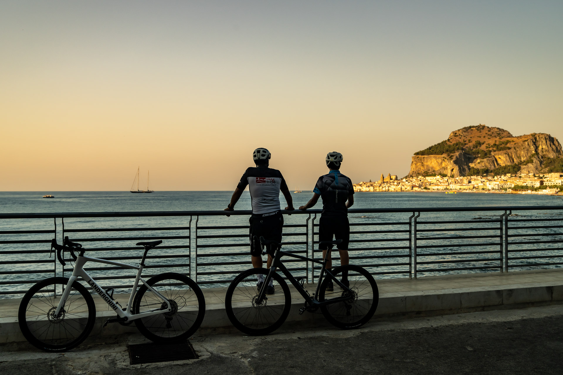
Piano Battaglia; Madonie Park; Mandria del Conte pond; ruins of San Giorgio Abbey; Gratteri; Cefalù.
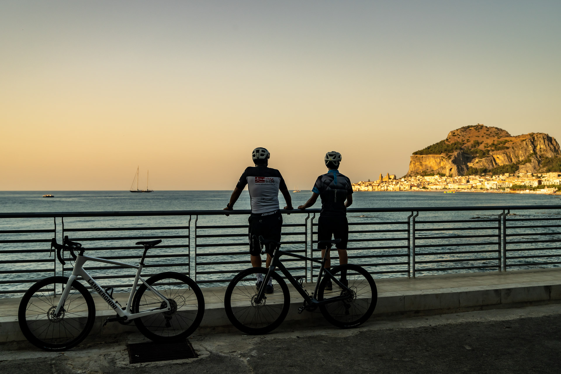
The final day starts among the mountains of Piano Battaglia and follows the descent towards the coast, with climbs and sections that still call for concentration. Mandria del Conte pond offers an early landmark; further on, the ruins of San Giorgio Abbey add a trace of history to the Madonie landscape. Pass through the Gratteri area before approaching Cefalù, where the town streets and nearby sea bring the crossing to a close.
Explore the Map & Elevation Profile
Sicily Parks Cycle Route by MTB: Villages and Nature
Request track & services
Fill in the form to receive the itinerary and the official GPX download
Bike-friendly hotels & accommodation
Bike-friendly hotels along your route with safe storage and easy access to the tracks. Rest, recharge and set off again!