Sicily Parks Cycle Route | Regional Parks by Bike
Sicily Parks Cycle Route | Regional Parks by Bike
Sicily Parks Cycle Route | Regional Parks by Bike: itinerary, stages and GPX tracks
Discover Sicily’s regional parks by bike: five stages from Giardini Naxos to Cefalù, through nature and villages.
General tour description: A cycling journey through the landscapes of Sicily’s regional parks, from the sea at Giardini Naxos to Cefalù.
The Sicily Parks Cycle Route crosses landscapes that change every day. Approximately 270 km in five stages connect the two coasts, passing through the territories of four parks and meeting villages where stopping is part of the journey.
The Alcantara Gorges introduce the first day, followed by the climb towards Linguaglossa and the Quota Mille variant to Randazzo. Continue towards Cesarò, San Teodoro and Cerami, then the Nicosia and Sperlinga area, Gangi and Petralia Sottana. Polizzi Generosa, Collesano, Isnello and Castelbuono accompany the discovery of the Madonie; the final stage returns to the sea after the hills around Gratteri.
The route mostly follows asphalt and paved surfaces, but includes roads open to traffic, dirt sections and demanding climbs.
Why choose this route?
- From the Ionian to the Tyrrhenian Sea: five days and approximately 270 km from Giardini Naxos to Cefalù, starting and finishing by the sea.
- Four parks to discover: Alcantara River Park, Etna Park, Nebrodi Park and Madonie Park offer different landscapes along one journey.
- Villages as places of discovery: Randazzo, Cerami, Gangi, Petralia Sottana and Castelbuono combine historic heritage and everyday life.
- Changing landscapes at every stage: from the river and volcanic slopes to inland mountains and glimpses of the Tyrrhenian Sea.
- A rewarding finish: the Madonie landscape accompanies the ride to Cefalù, with climbs, mixed surfaces and coastal views.
Perfect for anyone looking for an authentic outdoor adventure built on nature, cycling and local discovery.
Detailed Itinerary
Plan your adventure day by day with clear information on what to expect — distance, terrain and highlights for every stage.
1
Stage 1
Day 1 | Giardini Naxos → Randazzo
56.5 km
Day 1 | Giardini Naxos → Randazzo
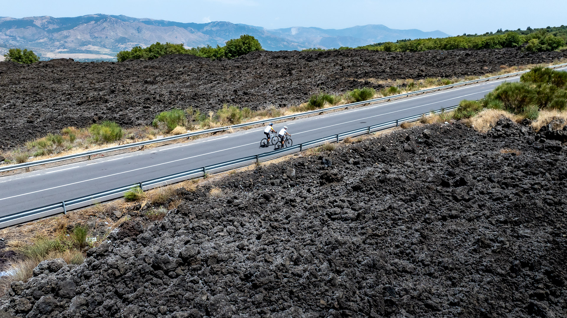
Giardini Naxos; Alcantara Gorges area; Francavilla di Sicilia; Castiglione di Sicilia; Linguaglossa; northern slopes of Etna; Randazzo.
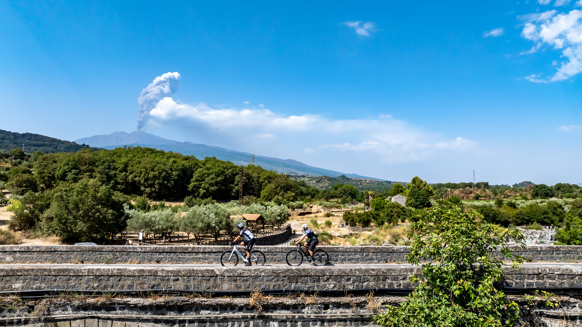
Starting near Taormina–Giardini station, the route soon enters the Alcantara Valley. It passes near the gorges, where the lava landscape and river invite an early stop; access and visits to the gorges must be arranged separately. Continue towards Francavilla and Castiglione di Sicilia, then Linguaglossa. The pace changes here: the Quota Mille variant climbs Etna’s northern slopes to approximately 960 m before leading to Randazzo.
2
Stage 2
Day 2 | Randazzo → Cesarò → Cerami
60.2 km
Day 2 | Randazzo → Cesarò → Cerami
Randazzo; Nebrodi landscapes; Cesarò; San Teodoro; Lake Ancipa area; Cerami.
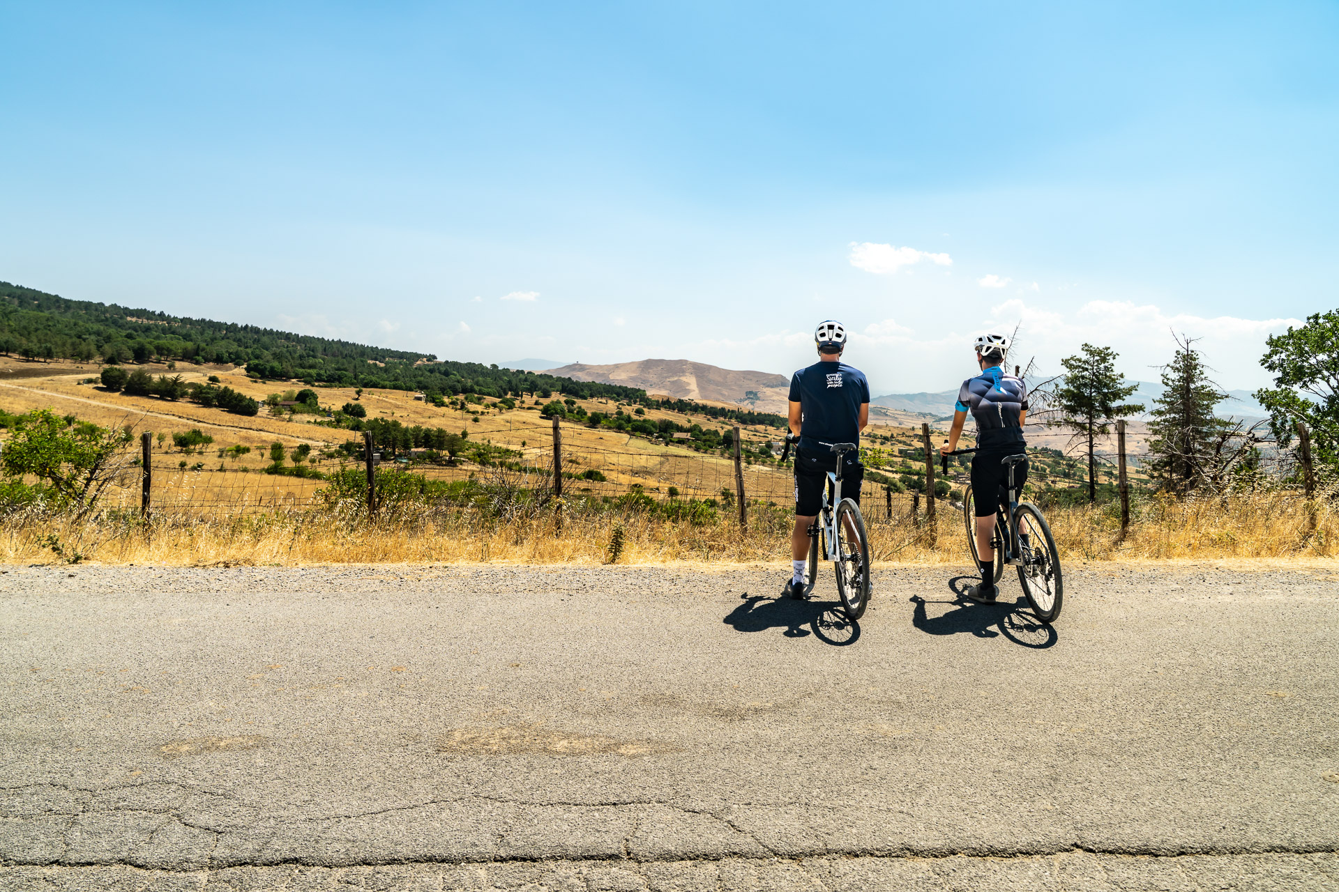
Leave Randazzo for a mountain day among hills, countryside and roads that invite a steady pace. Cesarò and San Teodoro offer opportunities to stop and discover Nebrodi flavours before continuing towards the Lake Ancipa area. Cerami marks the end of approximately 60.2 km, with an indicative 1,200 m of ascent.
3
Stage 3
Day 3 | Cerami → Gangi → Petralia Sottana
54.8 km
Day 3 | Cerami → Gangi → Petralia Sottana
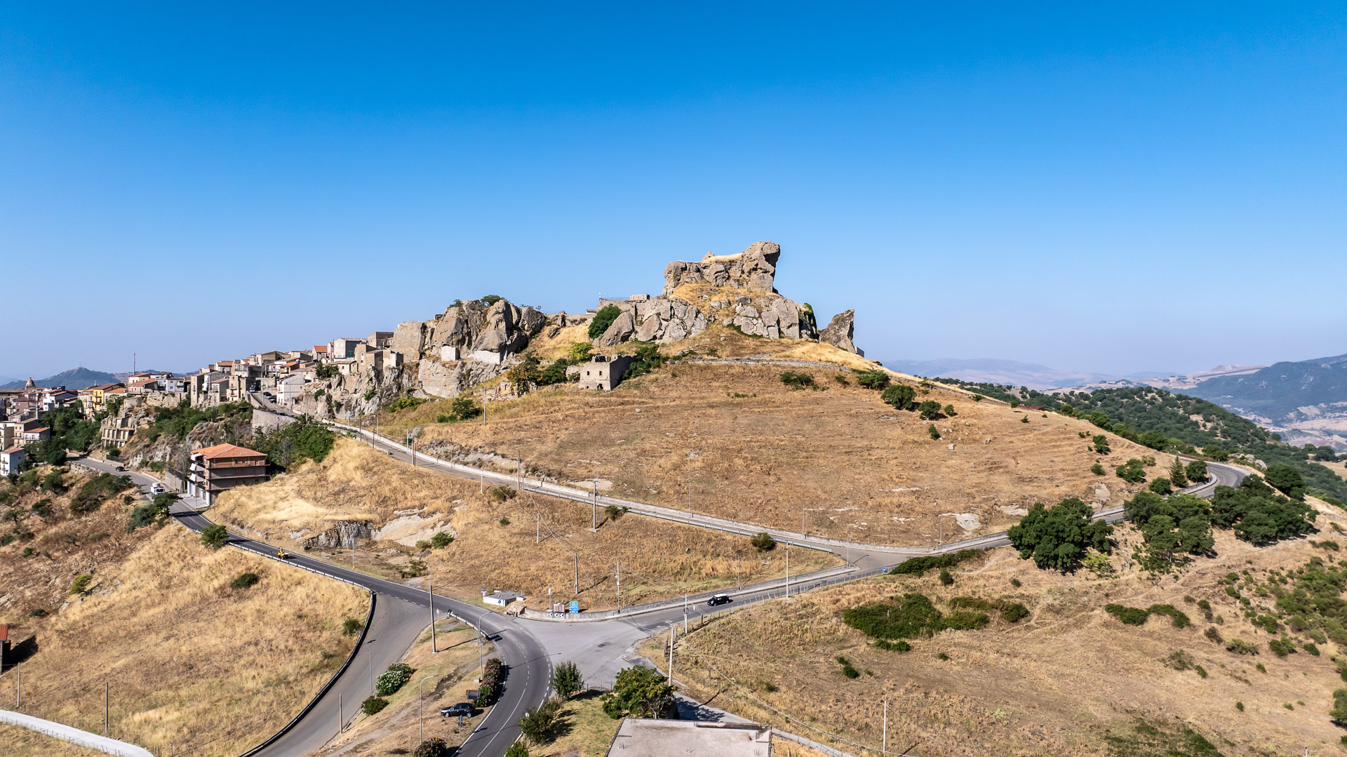
Cerami; Nicosia and Sperlinga area; Gangi; Petralia Soprana area; Petralia Sottana.
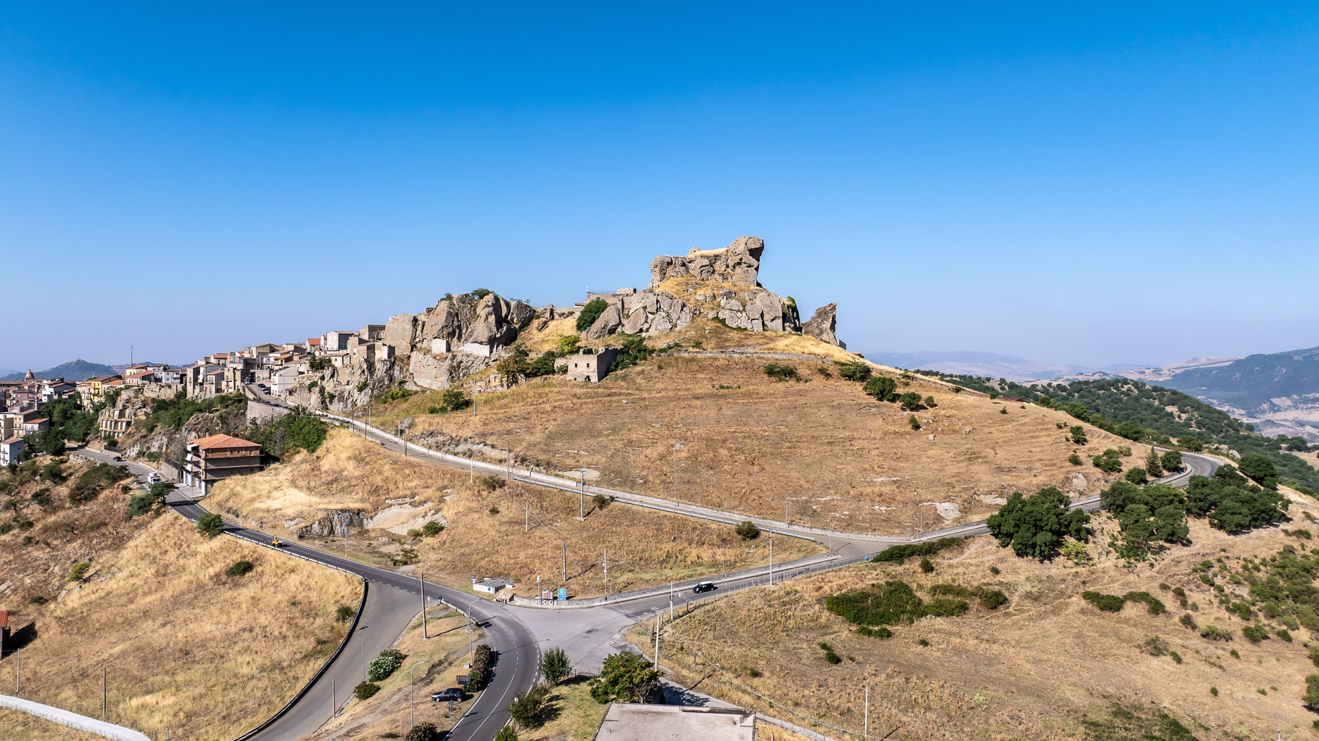
Follow the road variant from Cerami towards the inland hills, passing through the Nicosia and Sperlinga area. Their historic centres and Sperlinga’s rock-hewn castle can enrich the journey with separately arranged visits. Continue towards Gangi, its houses and streets gathered on the hill, then approach the Petralie. Petralia Soprana and Petralia Sottana are separate towns: the route passes near the first and ends in the second. Approximately 54.8 km and nearly 1,200 m of indicative ascent make for rolling terrain best ridden at an unhurried pace.
4
Stage 4
Day 4 | Petralia Sottana → Polizzi Generosa → Castelbuono
62.1 km
Day 4 | Petralia Sottana → Polizzi Generosa → Castelbuono
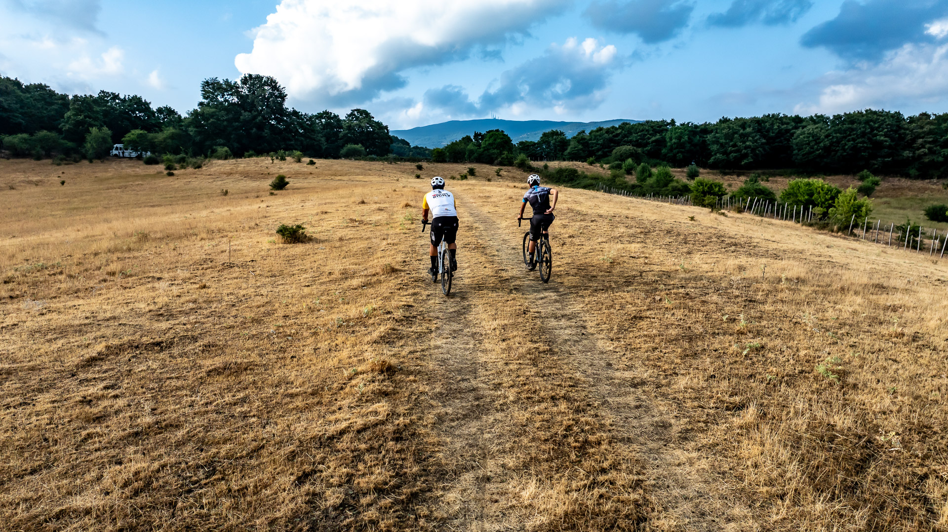
Petralia Sottana; Castellana Sicula; Polizzi Generosa; Collesano; Isnello; Castelbuono.
The Madonie take centre stage: from Petralia Sottana ride towards Castellana Sicula and Polizzi Generosa, alternating hilly roads with views of the mountains. Continue to Collesano, where the legacy of the Targa Florio offers a reason to visit, and to Isnello, nestled in the mountain landscape. The astronomical park can be a separate stop, arranged around timing and access. Castelbuono welcomes you with its town streets and Ventimiglia Castle, to discover after parking your bike.
5
Stage 5
Day 5 | Castelbuono → Gratteri area → Cefalù
36.0 km
Day 5 | Castelbuono → Gratteri area → Cefalù
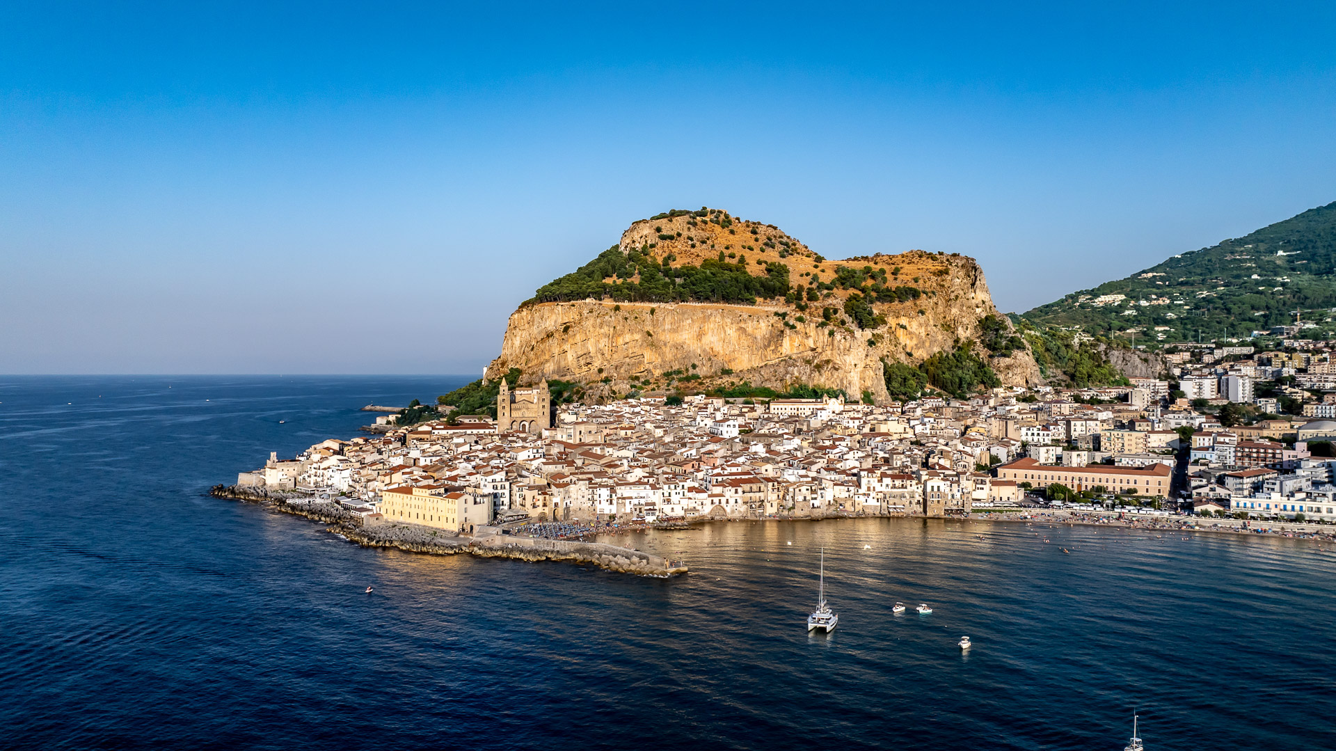
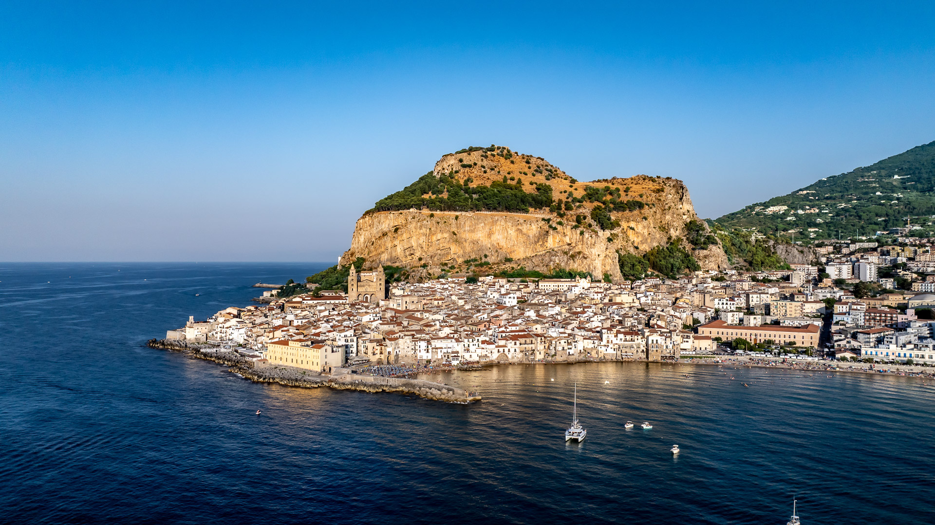
Ventimiglia Castle in Castelbuono; Madonie hills; Gratteri area; coastal views; Cefalù. Suggested visit: Cefalù Cathedral.
The final day leaves Castelbuono and climbs again through the Madonie before approaching the Gratteri area. The sea gradually appears, but reaching the coast requires a ride on alternating asphalt and unpaved sections. Cefalù closes the journey among its historic streets, seafront and cathedral, part of the UNESCO Arab-Norman heritage. At approximately 36 km it is the shortest stage, but still includes around 930 m of indicative ascent and a substantial amount of unpaved terrain.
Explore the Map & Elevation Profile
Sicily Parks Cycle Route | Regional Parks by Bike
Request track & services
Fill in the form to receive the itinerary and the official GPX download
Bike-friendly hotels & accommodation
Bike-friendly hotels along your route with safe storage and easy access to the tracks. Rest, recharge and set off again!