Sicily Parks Cycle Route Expert: Dirt Roads and Mountain Passes
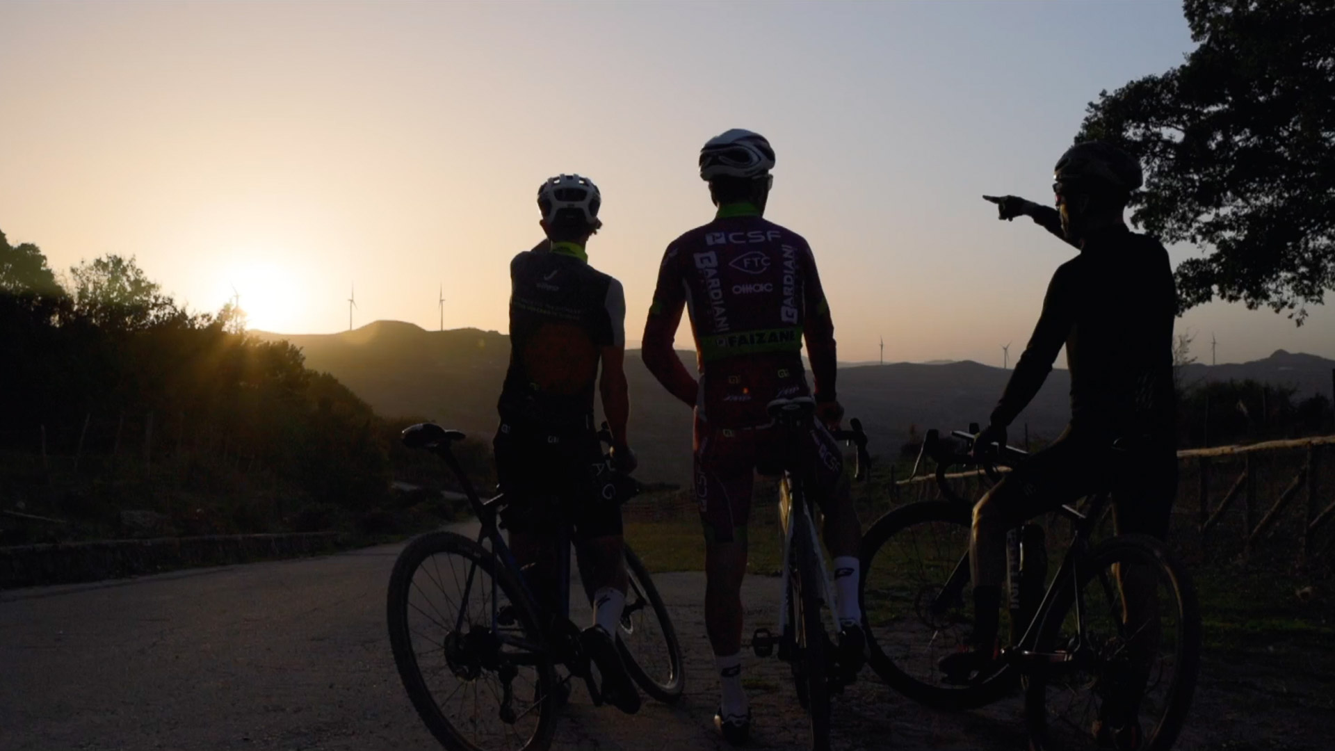
Sicily Parks Cycle Route Expert: Dirt Roads and Mountain Passes
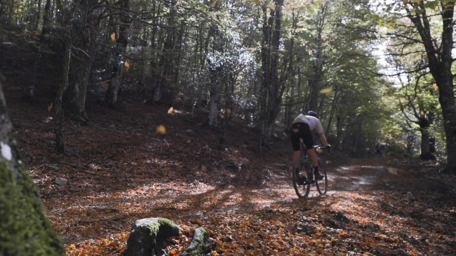
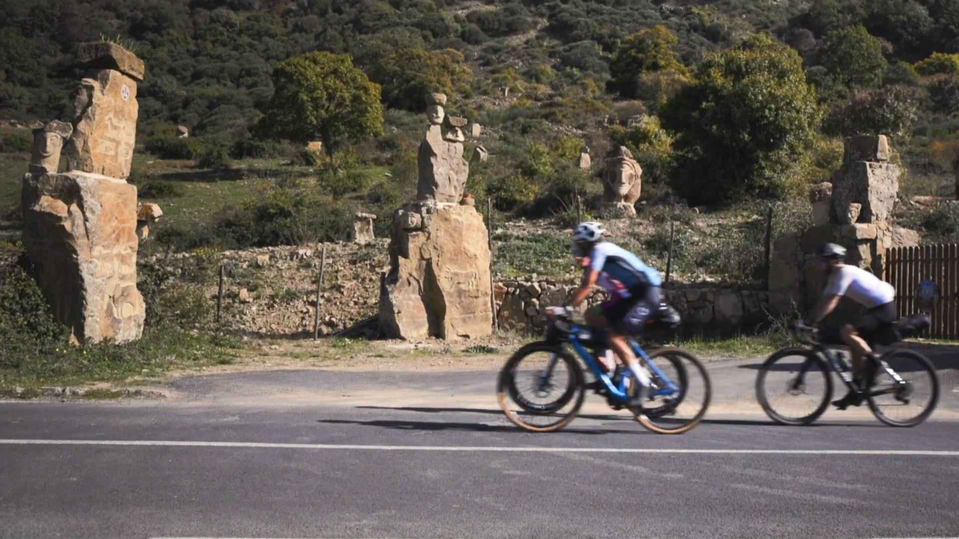
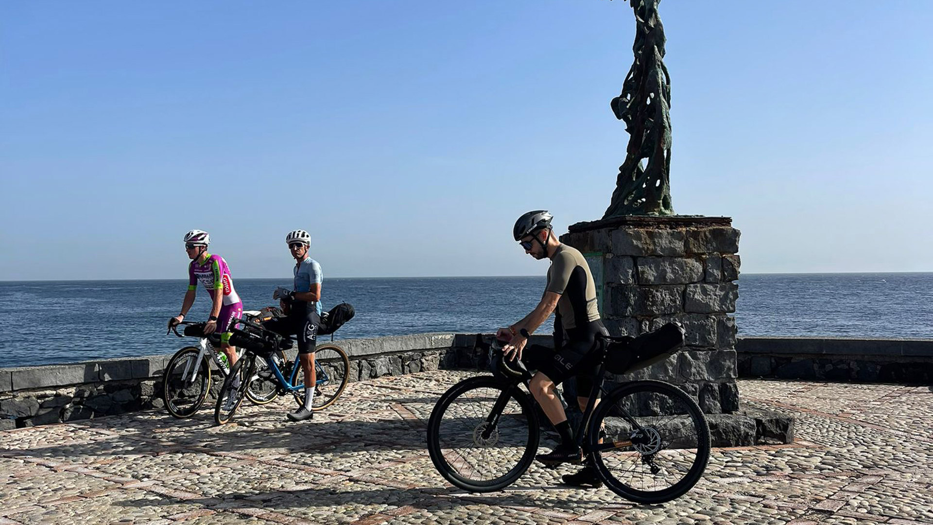
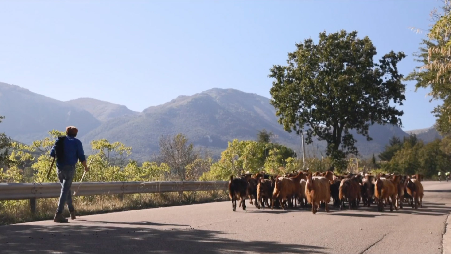
Sicily Parks Cycle Route Expert: Dirt Roads and Mountain Passes: itinerary, stages and GPX tracks
General tour description: The climb from the sea to Etna’s slopes, unpaved connections towards Mistretta and mountain passes opening the way to the Madonie: the Expert Sicily Parks Cycle Route celebrates the challenge of a varied, demanding ride. Approximately 296 km in five days link Giardini Naxos to Cefalù, alternating mountain roads, unpaved surfaces and villages where local life invites you to slow down.
Alcantara River Park introduces the crossing before the long climb to the Altomontana in Etna Park. From Randazzo continue towards Cerami, then enter the western Nebrodi Park area via Capizzi and the Mistretta district. Colle del Contrasto and Portella Palumba mark the connection towards Gangi and Petralia Sottana. In Madonie Park, Geraci Siculo, Castelbuono and Gibilmanna accompany the final day to the Tyrrhenian Sea.
Surfaces change considerably between stages: asphalt dominates some connections, while dirt makes up a significant share of the two middle days. You need fitness, skill on uneven terrain and a bike suited to the actual route. In some sections you may need to push the bike. An e-gravel bike can ease the effort on climbs, leaving more energy to enjoy the journey, with range and charging planned in advance.
Why choose this route?
- A start that gains elevation: approximately 73 km from the sea at Giardini Naxos to Randazzo, climbing Etna and passing at around 1,720 m.
- Mistretta as a stage destination: travel from Cerami via Capizzi and the western Nebrodi landscapes.
- Mountain passes and varied surfaces: Colle del Contrasto and Portella Palumba shape a middle day with a substantial amount of dirt.
- A finish via Geraci and Gibilmanna: the last stage links Madonie villages, the sanctuary and Cefalù’s seafront.
- Five days for a varied crossing: approximately 296 km requiring measured effort and attention to changing surfaces.
Perfect for anyone looking for an authentic outdoor adventure built on nature, cycling and local discovery.
Detailed Itinerary
Plan your adventure day by day with clear information on what to expect — distance, terrain and highlights for every stage.
1
Stage 1
Day 1 | Giardini Naxos → Etna Altomontana → Randazzo
72.9 km
Day 1 | Giardini Naxos → Etna Altomontana → Randazzo
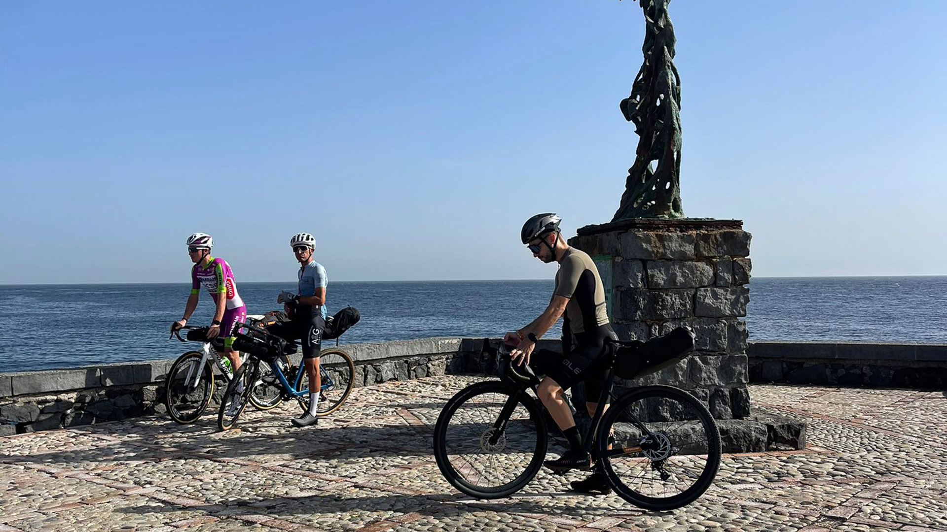
Giardini Naxos; Alcantara Gorges area; Francavilla di Sicilia; Castiglione di Sicilia; Linguaglossa; northern Etna and Altomontana; Randazzo.
Start near Taormina–Giardini station and climb the Alcantara Valley, passing near the gorges. Francavilla and Castiglione lead towards Linguaglossa, where the route changes pace and heads for the volcano. The climb reaches the Altomontana area, among woodland and lava landscapes, before descending to Randazzo. This stage immediately establishes the crossing’s character: approximately 72.9 km and almost 2,000 m of indicative ascent.
2
Stage 2
Day 2 | Randazzo → Cesarò → Cerami
60.4 km
Day 2 | Randazzo → Cesarò → Cerami
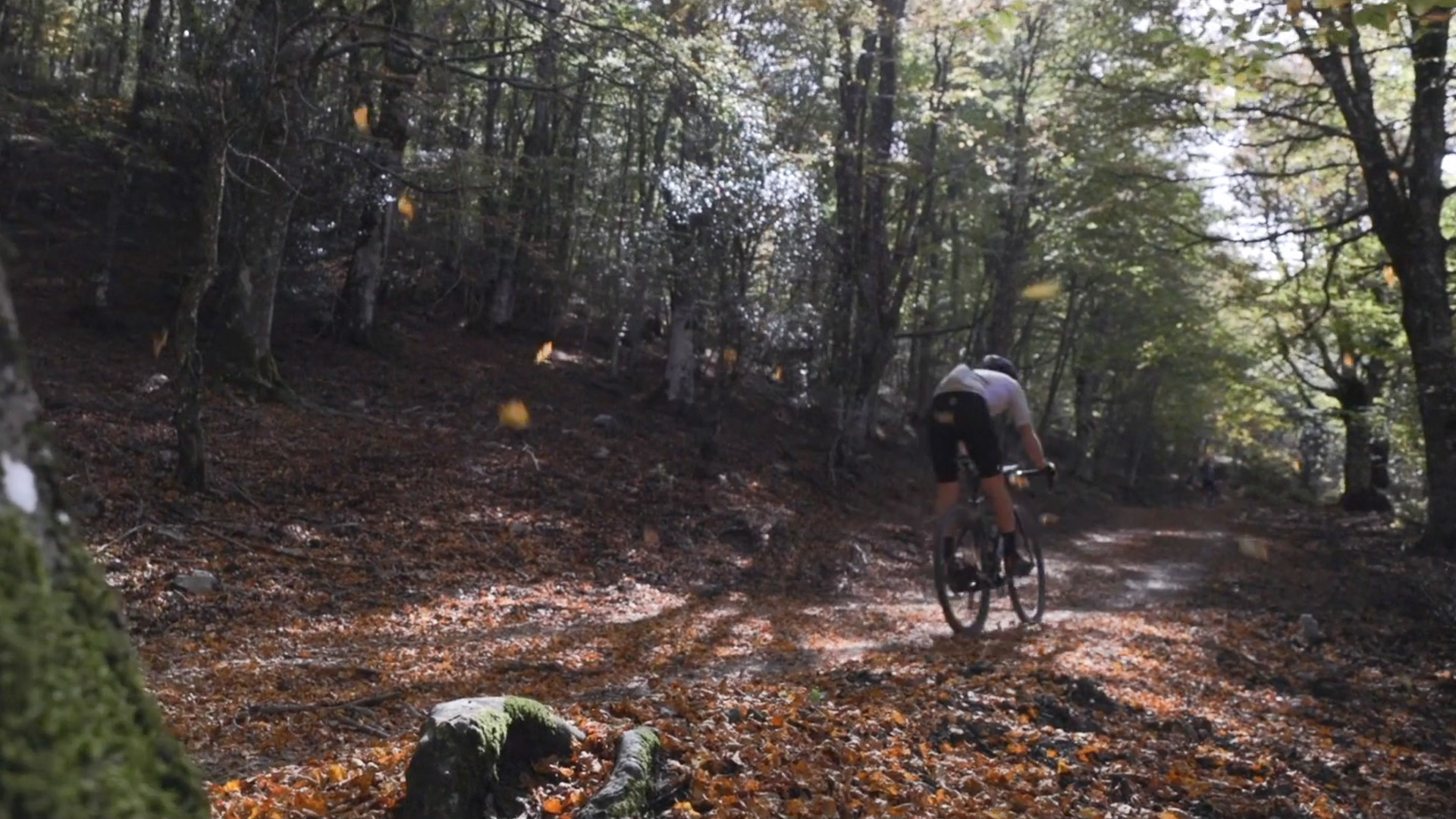
Randazzo; Cesarò; San Teodoro; Lake Ancipa area; Cerami.
The second day shifts attention from volcanic landscapes to the Nebrodi hills. Ride towards Cesarò and San Teodoro, with mountain views and opportunities to stop in the villages. Continue through the Lake Ancipa area before reaching Cerami. The almost entirely asphalt surface makes the ride different from day one, but approximately 60.4 km and over 1,200 m of indicative ascent keep it demanding. A local-food stop can punctuate the journey while leaving time for the final rolling section and arrival.
3
Stage 3
Day 3 | Cerami → Capizzi → Mistretta
46.3 km
Day 3 | Cerami → Capizzi → Mistretta
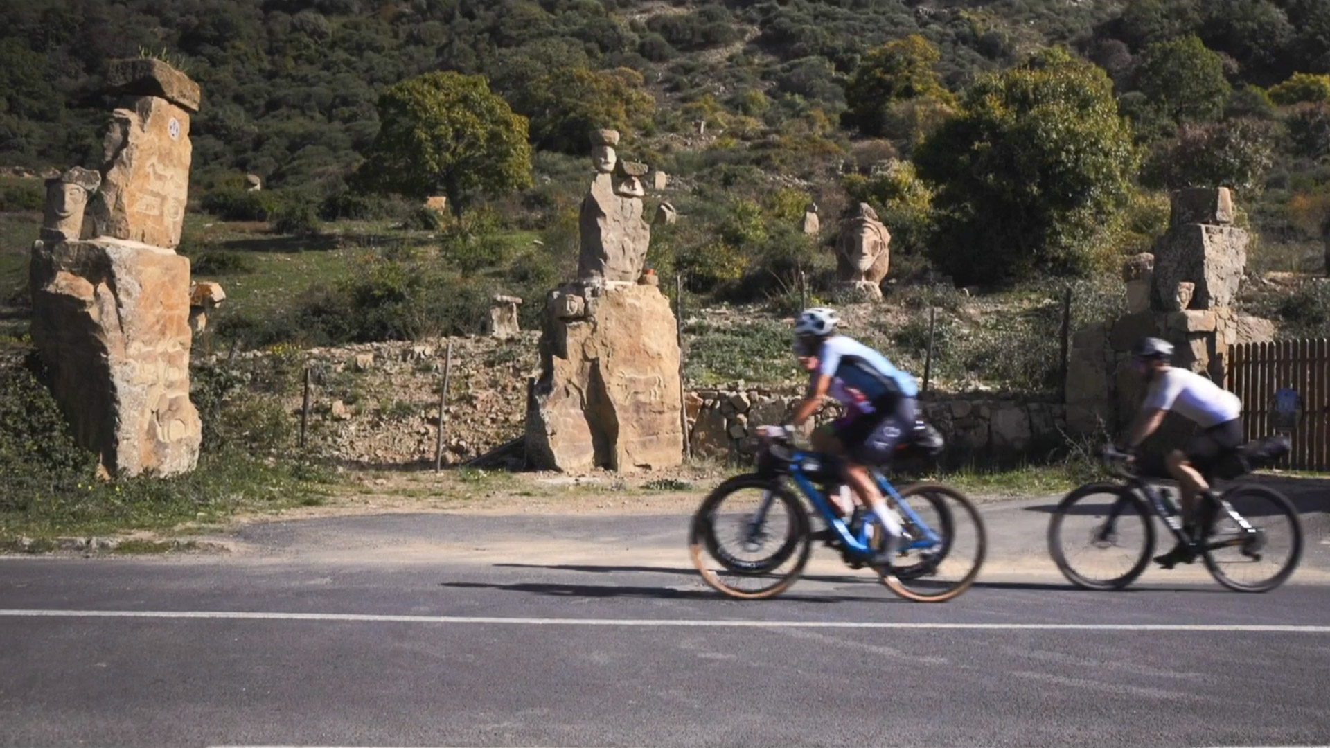
Cerami; Capizzi; western Nebrodi Park; Urio Quattrocchi area; Mistretta.
From Cerami reach Capizzi, then the track makes more room for unpaved connections among hills and woodland. This is one of the days that gives the Expert variant its distinct character: the route turns towards Mistretta through the Urio Quattrocchi area. Arrival brings a change of atmosphere, with streets and architecture to discover after the ride. Approximately 46.3 km and over 1,100 m of indicative ascent combine asphalt, dirt and slower sections, so allow time to ride at your own pace.
4
Stage 4
Day 4 | Mistretta → mountain passes → Petralia Sottana
51.8 km
Day 4 | Mistretta → mountain passes → Petralia Sottana
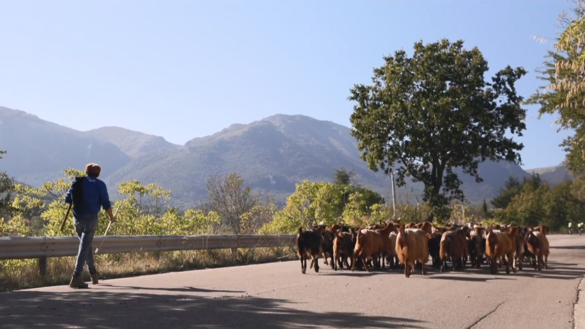
Mistretta; Colle del Contrasto; Portella Palumba; Gangi; Petralia Sottana.
Leave Mistretta and follow the connection towards the Madonie. Colle del Contrasto and Portella Palumba punctuate the day with climbs and mountain views, while asphalt, paved and long unpaved sections alternate under your wheels. Gangi offers a stop among houses clustered on the hill before the final section to Petralia Sottana. Approximately 51.8 km and almost 1,200 m of indicative ascent make this a sustained ride, with changing surfaces, gradients and descents requiring consistent attention and pacing.
5
Stage 5
Day 5 | Petralia Sottana → Geraci Siculo → Gibilmanna → Cefalù
64.2 km
Day 5 | Petralia Sottana → Geraci Siculo → Gibilmanna → Cefalù
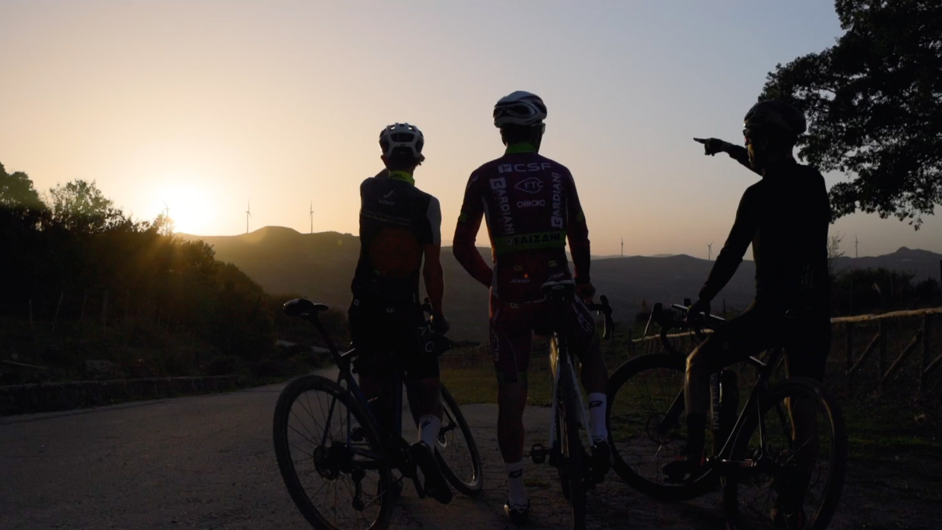
Petralia Sottana; Petralia Soprana area; Geraci Siculo; Castelbuono; Gibilmanna Sanctuary; Cefalù.
The final day crosses the Madonie on a route that still includes significant climbs. From the Petralie area reach Geraci Siculo, then continue towards Castelbuono, where the town centre and Ventimiglia Castle invite a stop. The route climbs again towards Gibilmanna: its sanctuary offers a cultural landmark before the final section to Cefalù. The sea returns to accompany the journey and the historic centre concludes the crossing, with time to visit the cathedral after arrival. The approximately 64.2 km are mostly asphalt but include over 1,000 m of indicative ascent.
Explore the Map & Elevation Profile
Sicily Parks Cycle Route Expert: Dirt Roads and Mountain Passes
Request track & services
Fill in the form to receive the itinerary and the official GPX download
Bike-friendly hotels & accommodation
Bike-friendly hotels along your route with safe storage and easy access to the tracks. Rest, recharge and set off again!