Pantelleria by Bike: Four Routes between Sea and Volcanic Landscapes
Pantelleria by Bike: Four Routes between Sea and Volcanic Landscapes
Pantelleria by Bike: Four Routes between Sea and Volcanic Landscapes: itinerary, stages and GPX tracks
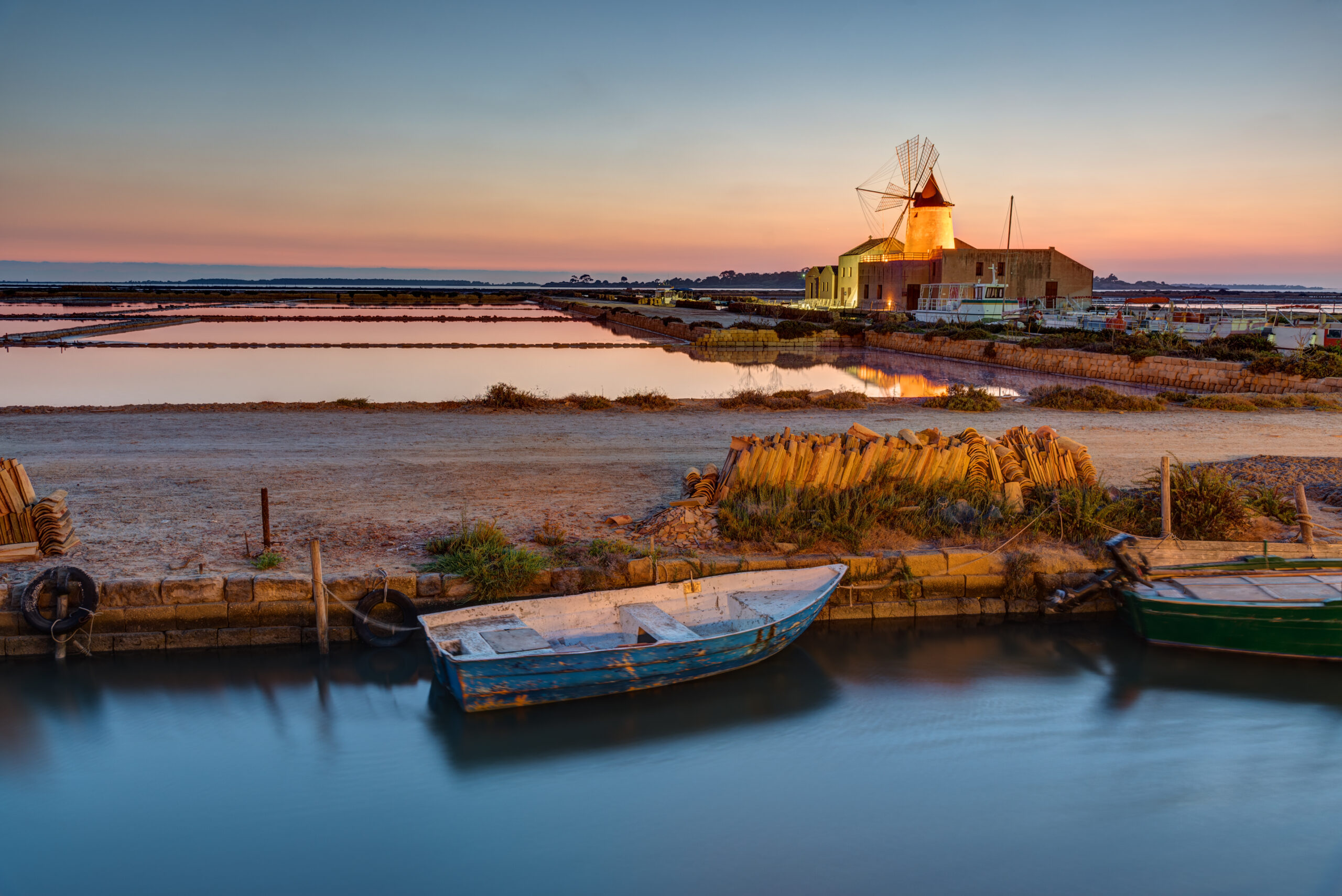
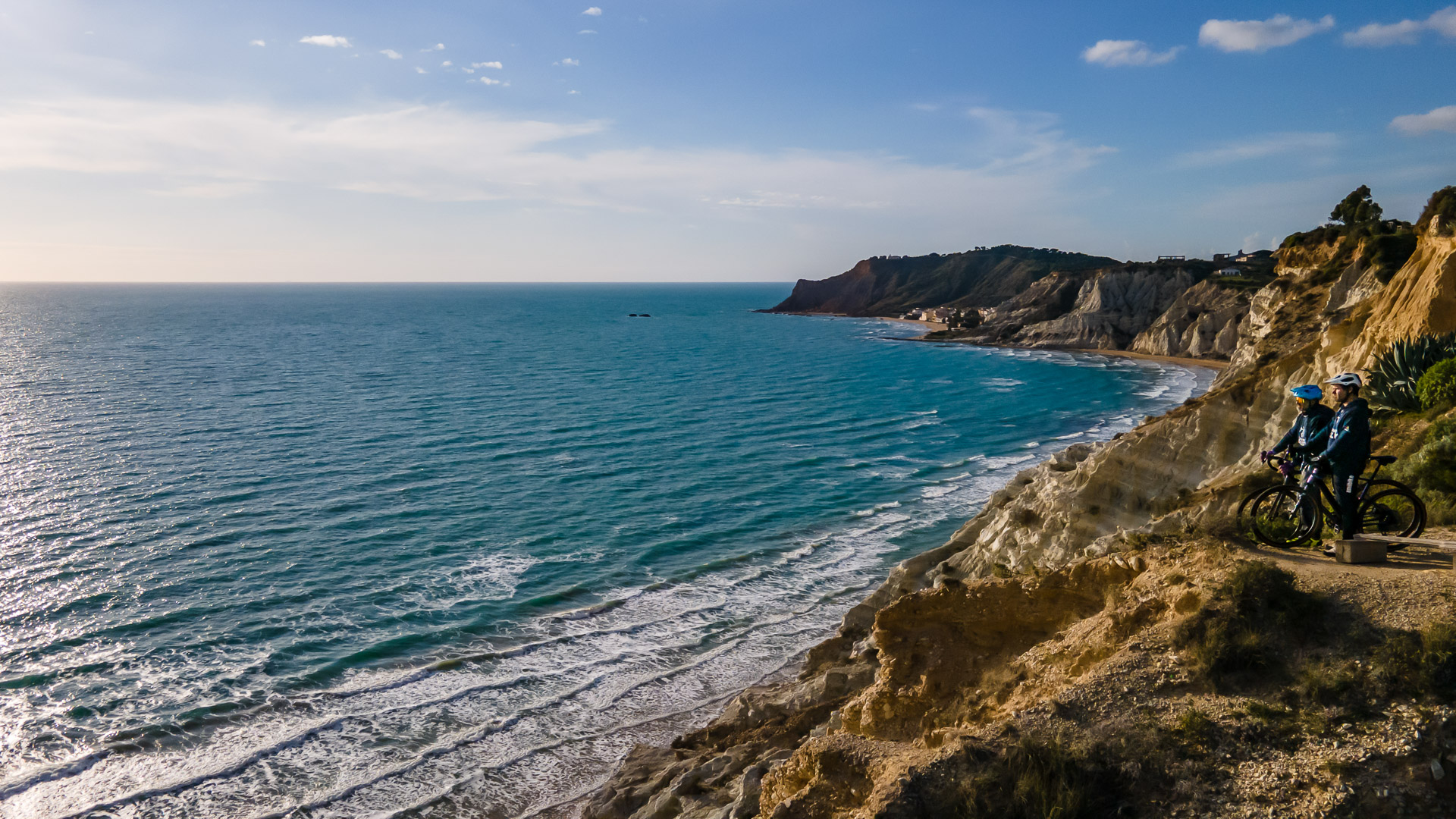
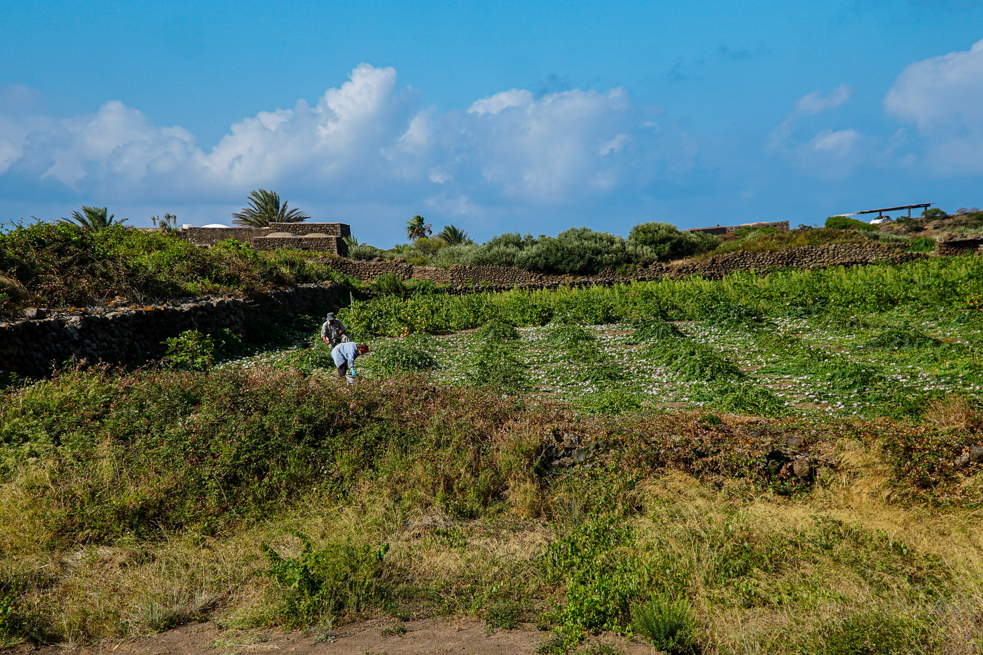
Black lava stone, vineyards sheltered by dry-stone walls and the sea appearing beyond a bend: cycling on Pantelleria reveals a landscape that is constantly changing. This collection offers four ways to explore the island, from scenic coastal roads to rural inland districts, with two mostly asphalt routes and two mountain-bike rides.
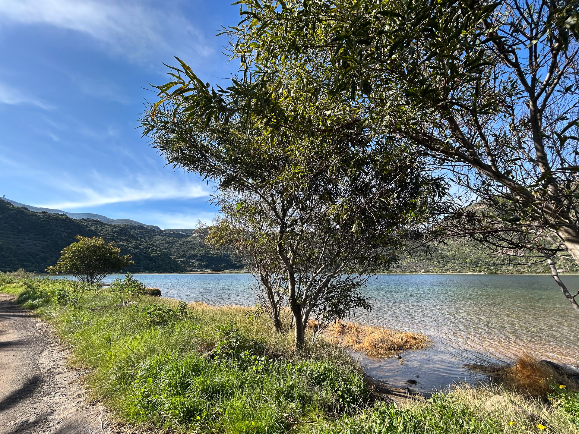
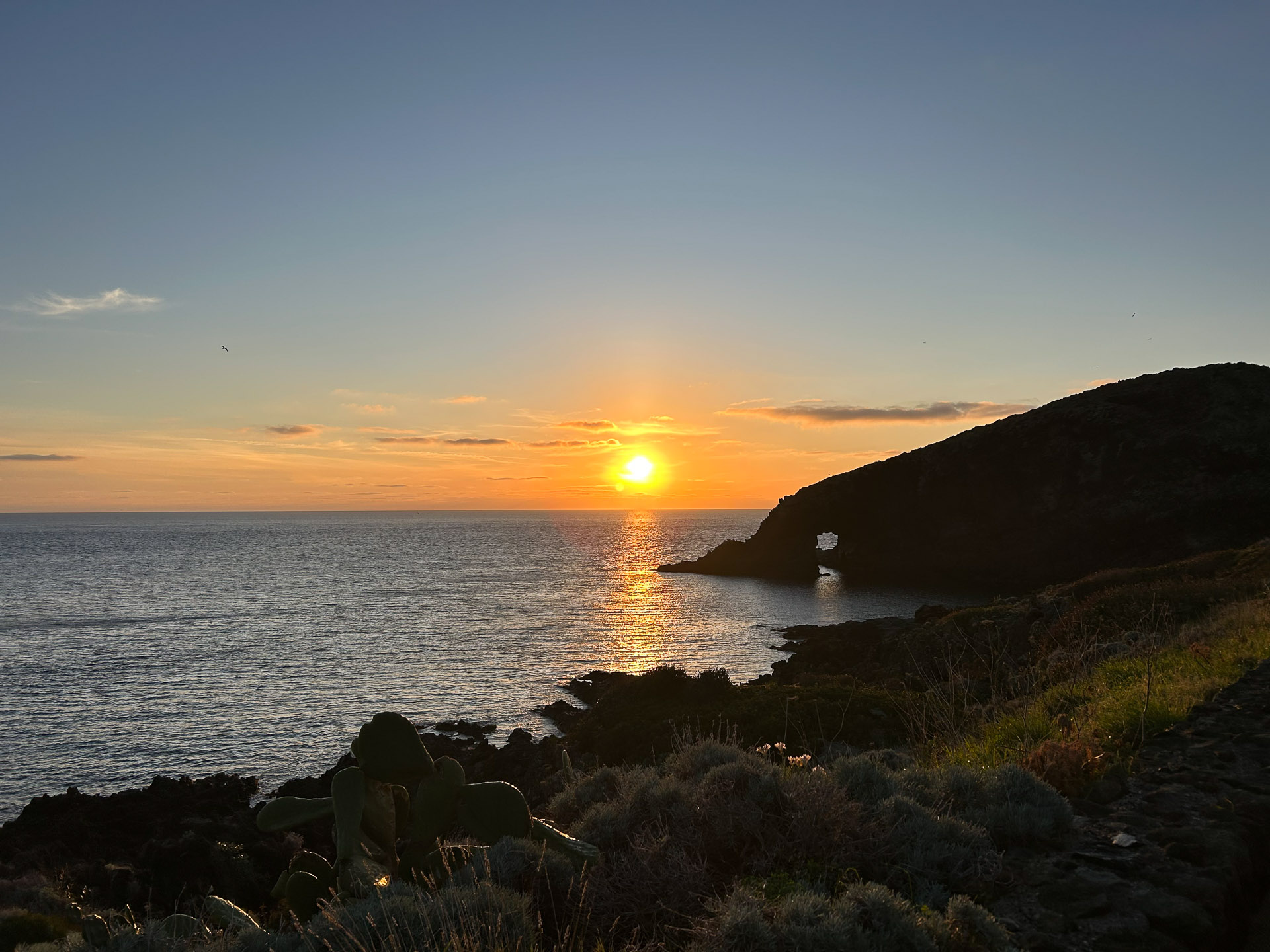
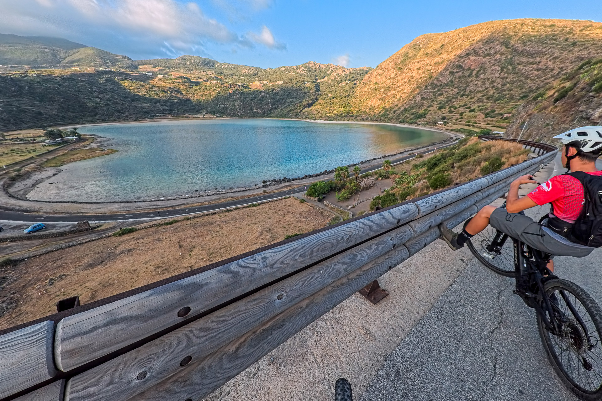
Dammusi, caper fields and Zibibbo vineyards tell the story of the islanders’ relationship with a landscape shaped by volcanism and wind. The traditional head-trained vine cultivation, recognised by UNESCO as intangible cultural heritage, lends character to a landscape best enjoyed at an unhurried pace. The National Park adds a variety of hills, vegetation and volcanic formations; Lake Specchio di Venere offers another meeting point between water and geological history.
Choose routes according to your fitness, experience and available time: these are not four consecutive stages or a compulsory four-day programme. The island circuit follows mostly asphalt roads; the MTB routes introduce uneven surfaces and passages requiring more attention. The longest trail exceeds 50 km, while the shortest packs around 400 m of climbing into just over 15 km.
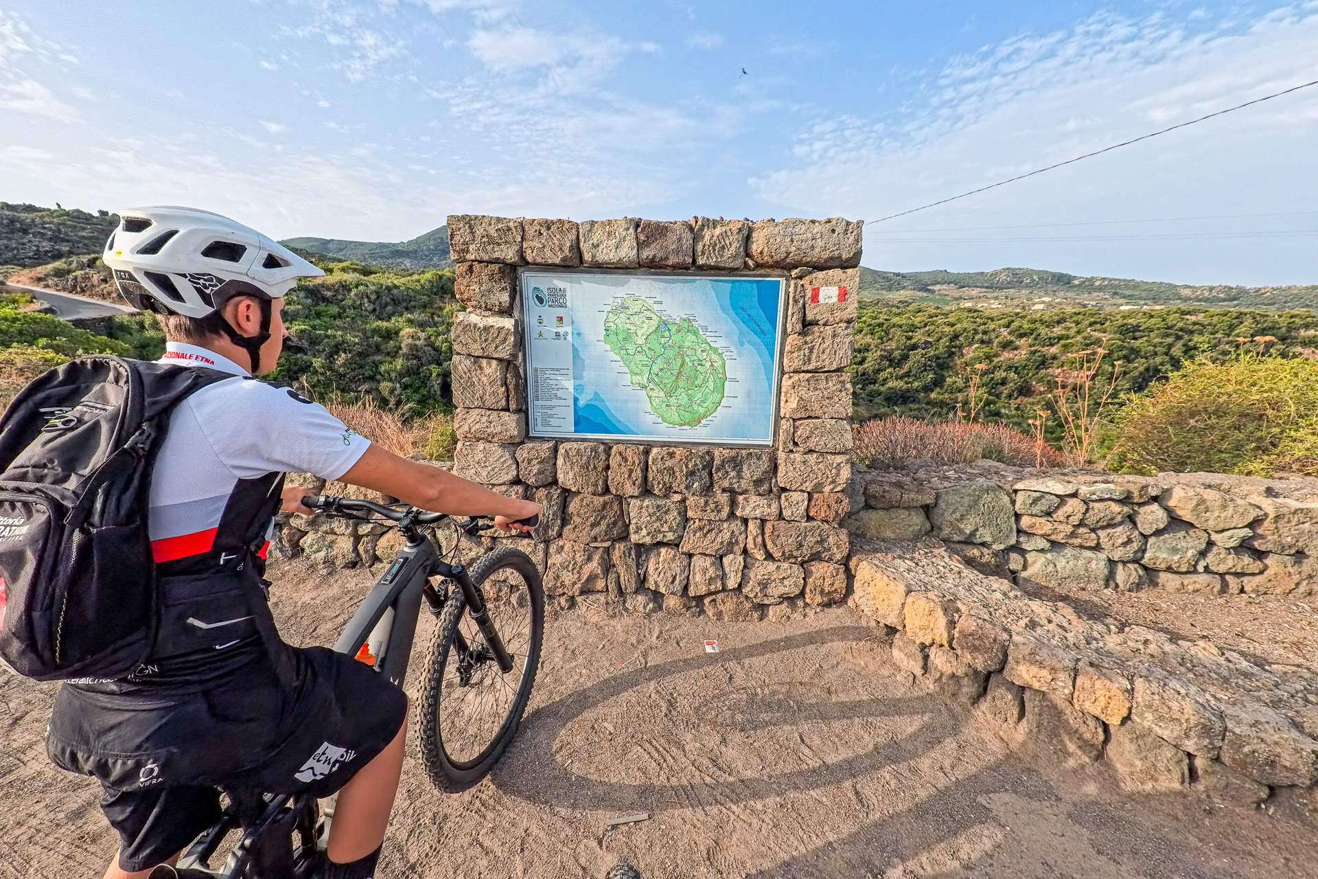
Good fitness is needed even on the road rides: climbs, descents and wind can make cycling demanding. The MTB routes require appropriate riding skills and a willingness to push the bike where necessary. An e-MTB can help on climbs; plan range and charging around the chosen route.
Why choose these routes?
- Four alternatives on one island, from scenic roads to mountain-bike routes.
- Pantelleria’s landscape: lava stone, dammusi, dry-stone walls and Zibibbo vineyards.
- Ride around the island to appreciate its coastline and the differences between its sides.
- Discover the park’s interior and volcanic hills beyond the usual seaside stops.
Perfect for anyone looking for an authentic outdoor adventure built on nature, cycling and local discovery.
Detailed Itinerary
Plan your adventure day by day with clear information on what to expect — distance, terrain and highlights for every stage.
1
Stage 1
Trail 1 | Landscapes of the National Park
36 km
Trail 1 | Landscapes of the National Park
Pantelleria town; Lake Specchio di Venere area; Khamma; Scauri; inland rural landscapes.
Leave the harbour area and town behind on a ride alternating glimpses of the water with roads through rural districts. The route passes through the Specchio di Venere area, approaches Khamma and crosses the interior to Scauri before climbing towards the north-eastern part of the island. Mostly road-based and almost entirely paved, it offers views of the National Park landscape, with climbs that call for a steady pace. A way to discover the island’s variety without choosing a technical MTB trail.
2
Stage 2
Trail 2 | Island circuit by road
39.8 km
Trail 2 | Island circuit by road
Pantelleria town; western coast; southern area; Cala Levante; Khamma; Specchio di Venere area.
Starting and finishing in Pantelleria town, the loop follows roads connecting the island’s different sides. From the west coast, head south and then along the eastern side, where the Cala Levante and Khamma area brings new sea views. The return crosses the northern area near Specchio di Venere. Almost 40 km reveal the island’s shape, but the road does not stay at sea level: climbs and descents are part of the experience.
3
Stage 3
Trail 3 | MTB among vineyards and hills
51.1 km
Trail 3 | MTB among vineyards and hills
Pantelleria harbour; Lake Specchio di Venere; Bugeber and Sibà area; Scauri; southern countryside.
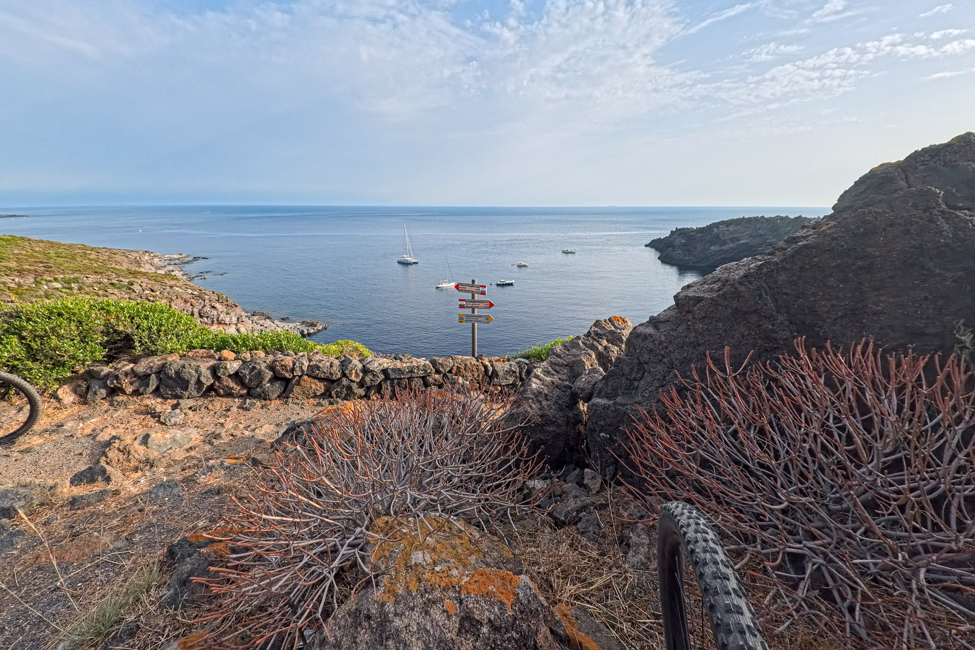
From the harbour, reach the Specchio di Venere area before continuing towards inland hills and rural districts. The route alternates road connections with unpaved sections, approaching Bugeber and Sibà, reaching Scauri and continuing through southern farmland before returning. Vineyards and dry-stone walls accompany a ride requiring sustained effort: the longest in the collection, with almost 1,200 m of ascent.
4
Stage 4
Trail 4 | MTB on volcanic trails
15.4 km
Trail 4 | MTB on volcanic trails
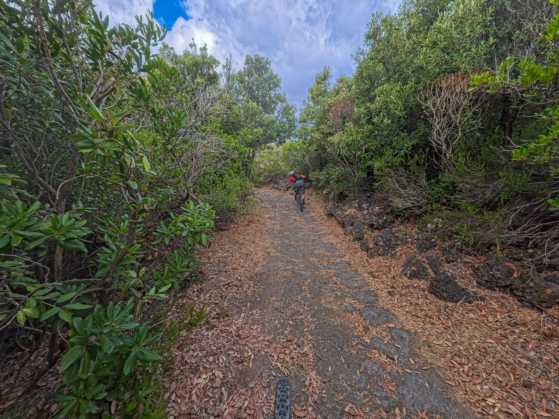
Khamma–Tracino area; inland volcanic hills; eastern slopes of the central massif.
Explore the eastern interior on a more compact route than the third trail. From the Khamma–Tracino area, enter the hills and gain elevation before returning towards the starting point. The approximately 15 km are no easy stroll: the climbs add up to around 400 m of ascent and call for careful pacing.
Explore the Map & Elevation Profile
Pantelleria by Bike: Four Routes between Sea and Volcanic Landscapes
Request track & services
Fill in the form to receive the itinerary and the official GPX download
Bike-friendly hotels & accommodation
Bike-friendly hotels along your route with safe storage and easy access to the tracks. Rest, recharge and set off again!